Scientists are employing artificial intelligence to support them in solving major environmental problems which affect the entire earth. The newly released AlphaEarth Foundations AI model from Google DeepMind delivers a major breakthrough that could revolutionize our capability to understand and solve critical challenges regarding water scarcity deforestation and food security.
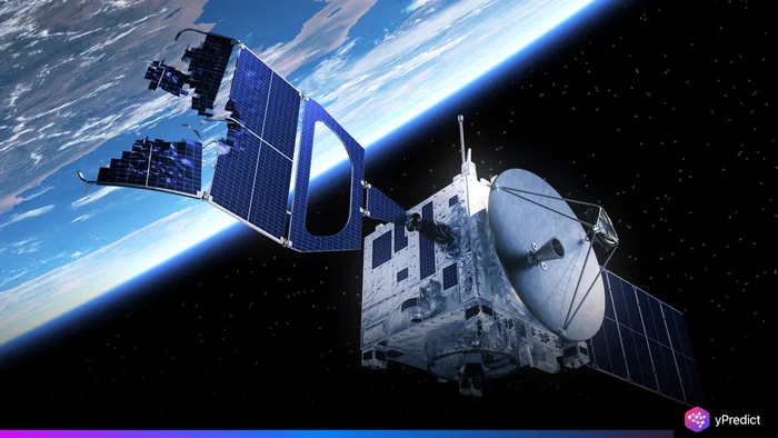
What sets AlphaEarth apart is its precision and efficiency. Built to act like a virtual satellite, this model doesn’t just gather more information; it makes sense of it. With increasing volumes of climate data analysis from varied sources, scientists often struggle to build consistent, timely insights. AlphaEarth Foundations solves this by offering a unified, compressed view of land and coastal ecosystems, in incredible detail, and with minimal storage requirements.
How AlphaEarth Combines Global Data for Deeper Insights
Most environmental monitoring systems rely on large, fragmented datasets. AlphaEarth Foundations takes a different approach by integrating information from dozens of satellite sources. It divides the Earth’s surface, land and coastal waters , into 10×10 meter squares, allowing for ultra-fine granularity.
This grid-based model means researchers can now track changes like forest cover, crop health, or water quality at near-invisible scales. More importantly, these insights are delivered consistently, eliminating the errors often caused by comparing inconsistent satellite formats or timeframes. Environmental monitoring becomes faster, sharper, and far more dependable.
Compact Summaries Power Real-Time Decision Making
One of the biggest breakthroughs of AlphaEarth is its ability to create highly compact data summaries for every grid cell. These summaries are 16 times smaller than those produced by traditional AI models, which is a game-changer for both storage and real-time processing.
For example, a region that might previously require gigabytes of raw satellite images can now be monitored using a lightweight, AI-generated summary. Scientists can instantly generate detailed maps, updated regularly, with less computational effort. This approach makes large-scale climate modeling or disaster response both feasible and affordable.
Applications That Matter: From Deforestation to Food Security
AlphaEarth Foundations has very far-reaching implications. Governments and research centers may now create dynamic and ever-changing land-use maps without having to use outdated or incoherent data. This becomes necessary in the instances of agricultural compensation for land, countering illegal deforestation, and monitoring coastal erosion.
The system can perform a rapid step to assessing crop health over thousands of hectares in food-insecure areas. The policymakers, in turn, may use the data for validation of their decisions on drought response and allocations of irrigation. In contrast, they also help scientists improve models for evaluating climate data by comparing predictions with actual changes on the ground.
Why AlphaEarth Is a Game-Changer for Environmental Science
The real strength of AlphaEarth Foundations is its simplicity alongside its magnitude. As a scientist, you no longer have to struggle to balance numerous datasets because, with a unified grid, you can now work with real-time consistent insights.
Additionally, with AlphaEarth Frameworks, there is no need for sophisticated infrastructure because there is a drastic reduction of each data point. The ability to conduct data storage and data analysis is now a possibility. Unlike the past, smaller institutions or developing countries can now actively participate in the global environmental monitoring activities, providing an opportunity in the field of climate science.
What’s Next for AlphaEarth and AI-Driven Planetary Science
As AI continues to evolve, tools like AlphaEarth Foundations will become central to our ability to respond to global challenges. Future updates may include predictive capabilities, allowing scientists to anticipate changes before they occur. Integrating local on-ground data could further improve accuracy.
This model marks a key milestone in the journey from raw data to actionable insight. It’s not just another AI tool , it’s a blueprint for how future climate data analysis systems should operate: fast, precise, consistent, and accessible.


